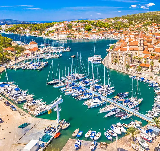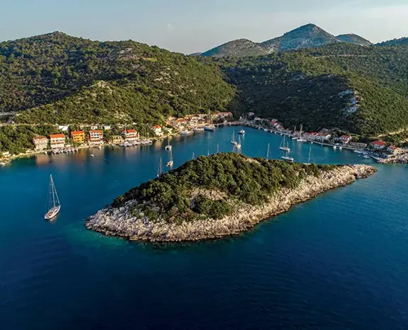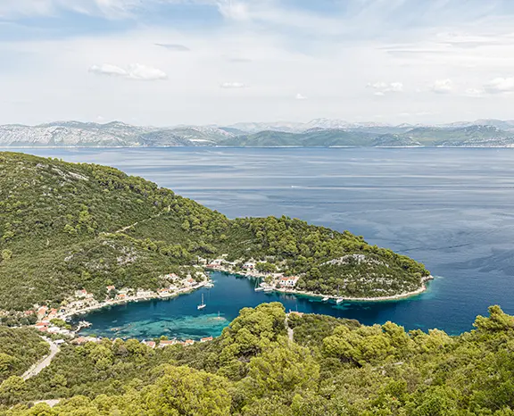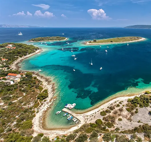
Kaštela → Maslinica (Šolta)
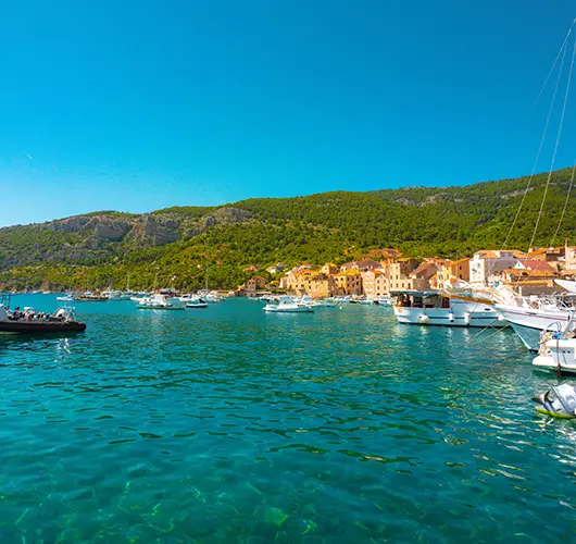
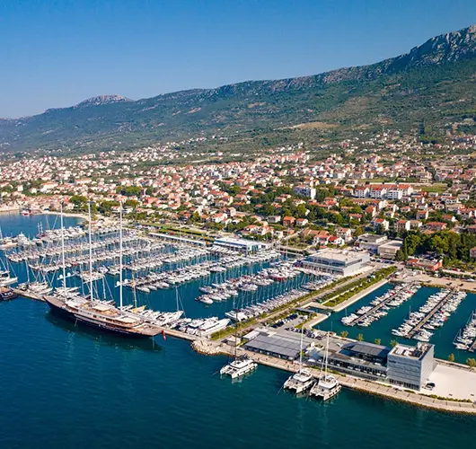
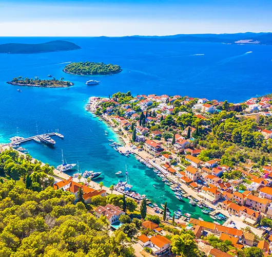
Saturday turn-around at Marina Kaštela clears the outgoing column by about 16:30, so our base team sets the on-board briefing for 15:30 and slips charters out behind the rush. Thirteen miles south-southwest takes you across the Split Channel to Maslinica on the western tip of Šolta. The seven-islet chain across the entrance kills any open-Adriatic swell and makes the approach unmistakable from two miles offshore. Two berthings share the bay: Martinis Marchi Marina on the south side runs lazy lines and a working 18th-century baroque-castle hotel; the village quay on the north side takes stern-to with own anchor at a modest harbour fee. Šolta runs quieter than Brač or Hvar by an order of magnitude — no day-tripper ferries, three konobas around the village square, one bakery, one small grocer. The standing pairing is the indigenous Dobričić red against Šoltansko olive oil; both stocked at the corner shop next to the parish church.
Things to do
Walk the Martinis Marchi castle courtyard and the chapel ruins on the rise above it
Pour the Dobričić — Šolta's indigenous red — at Konoba Šišmiš in the village square
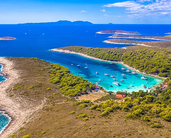
Snorkel the channel between Polebrnjak and Stipanska islets at the bay mouth
Sit on the headland west of the village for the open-Adriatic sunset
Pick up two litres of Šoltansko olive oil before the morning departure
Mooring tip
Martinis Marchi Marina on the south side has lazy lines, water and power, plus a full-service block — summer rate around €100/night for a 50 ft mono, online booking essential in July–August. Village quay on the north side accepts stern-to with own anchor at a modest harbour fee (water tap on the central section, no power). The seven-islet chain at the entrance blocks all S, SW, W and NW swell; only N gradient pushes chop in, and that's rare in summer. Anchorage holding in the centre is sand-and-weed in 5–8 m, mostly good with a second pass to set.